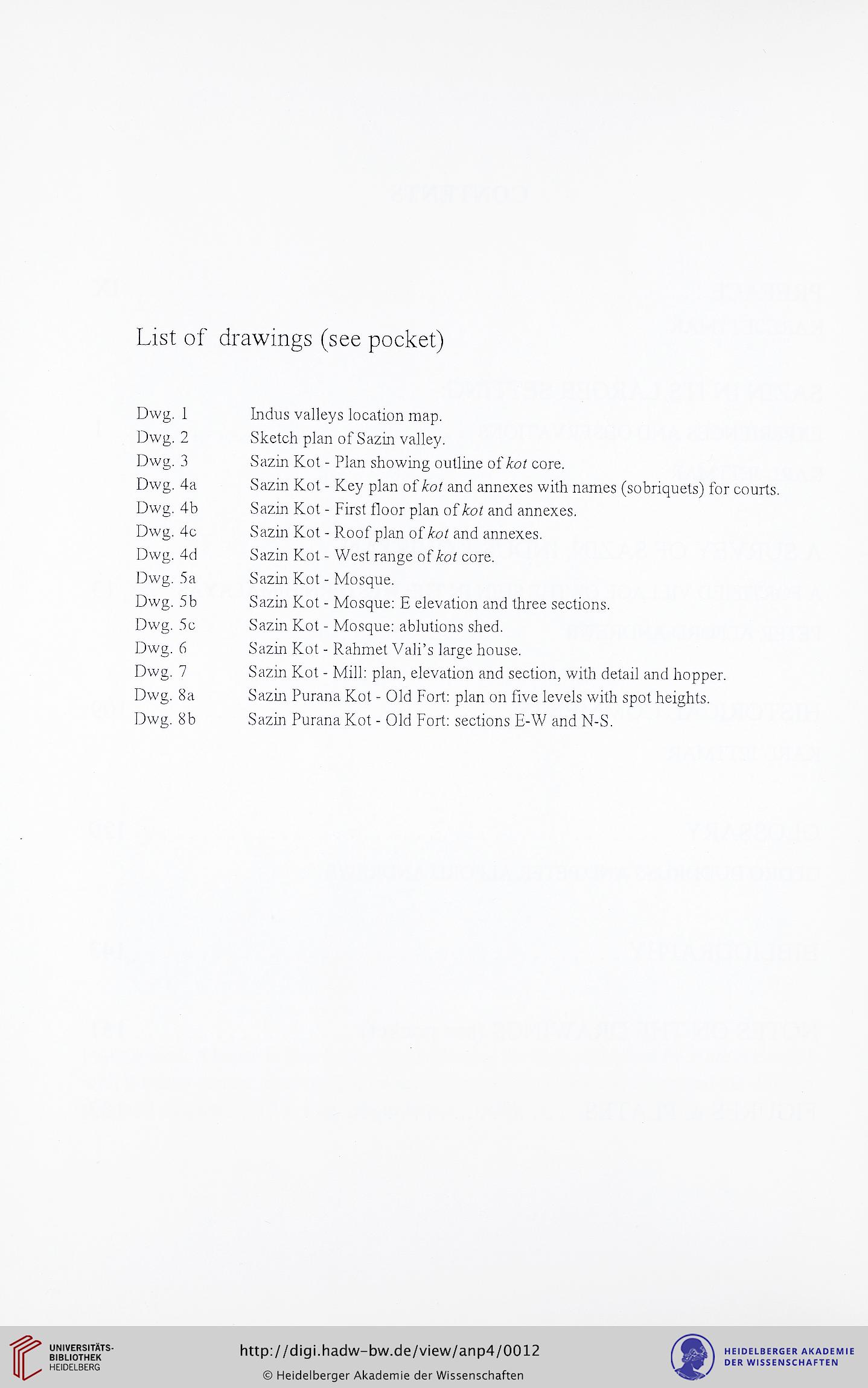
List of drawings (see pocket)
Dwg.
1
Dwg.
2
Dwg.
3
Dwg.
4a
Dwg.
4b
Dwg.
4c
Dwg.
4d
Dwg.
5a
Dwg.
5 b
Dwg.
5c
Dwg.
6
Dwg.
7
Dwg.
8a
Dwg.
8b
Indus valleys location map.
Sketch plan of Sazin valley.
Sazin Hot - Plan showing outline of/rot core.
Sazin Kot - Key plan of /rot and annexes with names (sobriquets) for courts.
Sazin Kot - First floor plan of /rot and annexes.
Sazin Kot - Roof plan of /rot and annexes.
Sazin Kot - West range of /rot core.
Sazin Kot - Mosque.
Sazin Kot - Mosque: E elevation and three sections.
Sazin Kot - Mosque: ablutions shed.
Sazin Kot - Rahmet Vali's large house.
Sazm Kot - Mill: plan, elevation and section, with detail and hopper.
Sazin Purana Kot - Old Fort: plan on five levels with spot heights.
Sazin Purana Kot - Old Fort: sections E-W and N-S.
Dwg.
1
Dwg.
2
Dwg.
3
Dwg.
4a
Dwg.
4b
Dwg.
4c
Dwg.
4d
Dwg.
5a
Dwg.
5 b
Dwg.
5c
Dwg.
6
Dwg.
7
Dwg.
8a
Dwg.
8b
Indus valleys location map.
Sketch plan of Sazin valley.
Sazin Hot - Plan showing outline of/rot core.
Sazin Kot - Key plan of /rot and annexes with names (sobriquets) for courts.
Sazin Kot - First floor plan of /rot and annexes.
Sazin Kot - Roof plan of /rot and annexes.
Sazin Kot - West range of /rot core.
Sazin Kot - Mosque.
Sazin Kot - Mosque: E elevation and three sections.
Sazin Kot - Mosque: ablutions shed.
Sazin Kot - Rahmet Vali's large house.
Sazm Kot - Mill: plan, elevation and section, with detail and hopper.
Sazin Purana Kot - Old Fort: plan on five levels with spot heights.
Sazin Purana Kot - Old Fort: sections E-W and N-S.


